What’s Canada’s largest urban park system? You guessed it… It’s the Edmonton River Valley! Alberta’s capital city boasts over 160 kilometres of multi-use trails, and the North Saskatchewan River Valley makes biking in Edmonton unmissable. Grab your bike and hit the trails! You’ll be glad you did.
Biking in Edmonton

At first glance, you might wonder biking in Edmonton is a good choice. After all, it’s often omitted from lists of Canada’s most bikeable cities—while Victoria, Montreal, Saskatoon, and Toronto are usually there. But Edmonton’s impressive bike path system shouldn’t be ignored. With more than 160 km of multi-use trails, over 30 parks connect to the River Valley Trail system. There are over 18,000 acres to explore!
Read more: 5 of the Best Bike Paths in Calgary, Alberta
About Edmonton’s River Valley Trail

Location: Edmonton, Alberta
Distance: 18 km loop
Difficulty: Moderate
Elevation: 122 metre gain
Time: Approx. 1 – 2 hours
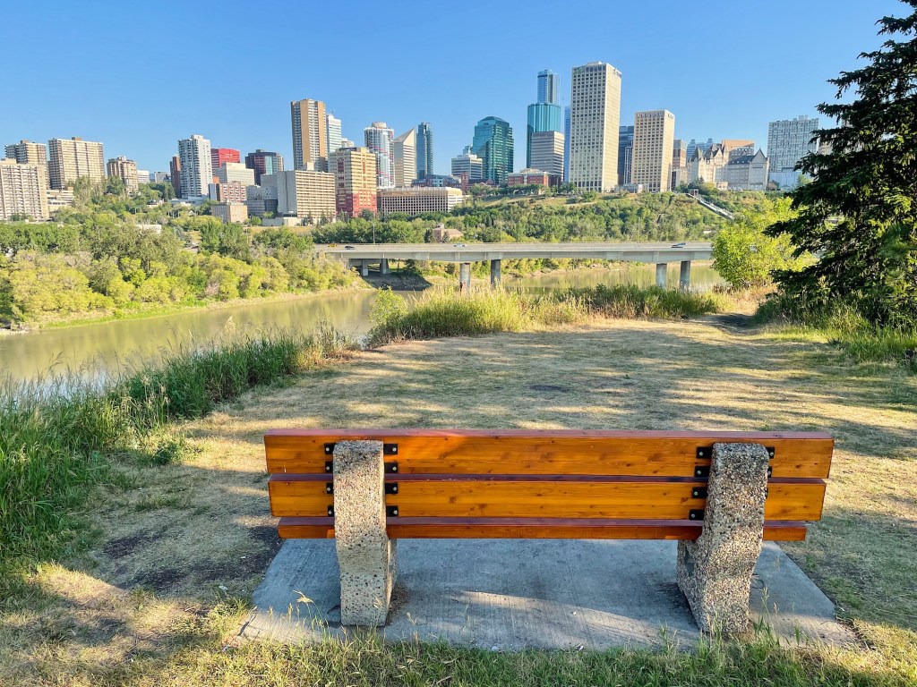
Features: There are many options for biking in Edmonton along the River Valley. My route included beautiful cityscape, impressive bridges, and views of the North Saskatchewan River. You’ll also find several parks to explore along the way, too.
My Bike Route: Old Strathcona to Low Level Bridge

I was staying in Old Strathcona during a work trip and knew I had to check out the spectacular River Valley Trail. My Edmontonian friends often boast about Canada’s largest urban park, so I brought my bike along and carved out some time for a ride. It took about 1.5 hours to cycle 18 km. If you’re visiting without wheels, there are plenty of bike rental options as well.
My ride started from 83 Ave NW and then north to connect to the River Valley Trail near Nellie McClung Park (see route map below). After Nellie McClung, I cycled under the Low Level Bridge to explore Henrietta Muir Edwards Park. You’ll pass Rafter’s Landing and then continue into the park. However, there was construction on the path when I visited, so I turned around to cross over the Low Level Bridge.
Read more: Amisk Wuche Trail: Short Elk Island Hike in Alberta


Low Level Bridge to Groat Bridge

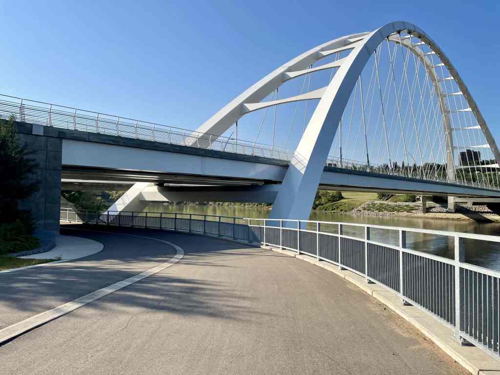
The multi-use trails along the River Valley are very enjoyable. Just be sure to watch for other cyclists, pedestrians, and even the newly arrived electric scooters. After crossing the Low Level Bridge, I continued through Irene Parlby Park and passed some urban artwork. The Walterdale Bridge is a picturesque part of the ride. With two 56-metre tall arches, Walterdale is the first bridge of its kind in Edmonton. You’ll probably want to snap a photo!
I continued down past High Level Bridge, through Victoria Park, and had to check out Government House Park, too. After a quick break, I crossed the Groat Bridge to begin the ride back. I was glad to have my hybrid bike for an easy transition from paved paths to dirt trails in Kinsmen Park. This was a fun section of up and down! From here, it wasn’t long until Queen Elizabeth Park and then back to Old Strathcona.
Read more: Devon River Valley Trail Near Edmonton, Alberta


The North Saskatchewan River

Did you know where the water in the North Saskatchewan River comes from? There’s great information along the trail, and I learned that the river flows from the Saskatchewan Glacier in Banff National Park (near Saskatchewan River Crossing). The river flows through Alberta and Saskatchewan into Lake Winnipeg, and then through the Nelson River to Hudson Bay. That’s quite the journey!
Over 150,000 km² of land drains into the North Saskatchewan, so what we do on land matters for our waters. Remember to pick up your trash and leave no trace along the riverside.
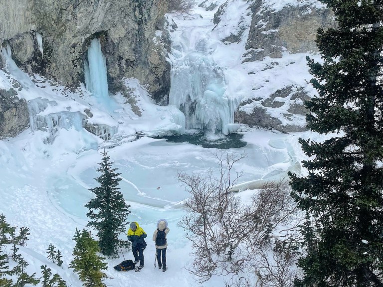
Read more: 10 Waterfalls in Alberta That You Should See

Know Before You Go

Depending on where you start, you may need to share the road with motorized vehicles. It took less than 10 minutes to reach the River Valley Trails from Old Strathcona.
Before you go, make sure to prepare for your ride. I always bring water, snacks, rain shell, and first aid with me. It’s a good idea to bring a spare tire tube and a patch kit, too. Because there are so many parks along the route, it’s not difficult to find a washroom when you need it.
You might appreciate having a map of Edmonton’s bike routes. I tend to use Google Maps for navigation, so I bring a battery pack to keep my phone charged. There’s plenty of signage to help navigate throughout the trail.

Map of Biking in Edmonton
Have you biked along Edmonton’s River Valley Trails? What’s your favourite place to ride in the city? Let me know in the comments below!
Save this for later? Hover over the image to add to Pinterest!

Thomas Coldwell has always been fond of the outdoors. He loves hiking, paddling, and camping, and thoroughly enjoys creating outdoor adventure resources for people like you. Originally from Nova Scotia, Thomas has lived in four Canadian provinces (NS, NB, ON, AB) and has travelled in 20 countries and counting.