Are you planning to spend time in Baddeck? Consider visiting Humes River Falls, with the trailhead just 15 minutes from town. Before heading out, be prepared for a few hours on the trail. The Humes River Falls hike is a bit longer, but just as impressive as other popular Cape Breton waterfalls!

When I was on Cape Breton Island last June, I ventured out to several waterfalls from my home base in Middle River (just outside of Baddeck). The Humes River Falls hike was a bit longer than I anticipated, but worth every step when I arrived at the falls. And to add icing to the cake, I had the place all to myself! If you want to get out in nature, Humes River Falls is a fantastic day trip and one of the coolest Cape Breton waterfalls.
This post includes affiliate links. If you make a purchase through one of the links, I may receive a percentage of the sale at no extra cost to you.
Humes River Falls Trail Map (Cape Breton Island)
About the Humes River Falls Hike

Location: Wagmatcook, Cape Breton Island, Nova Scotia
Distance: 10 km out and back
Difficulty: Moderate to difficult
Elevation: 316 metre elevation gain
Time: 2.5 – 3 hours
Family-Friendly: Yes, depending on fitness levels. Not stroller-friendly.
Dog-friendly: Yes, but dogs should remain on a leash.
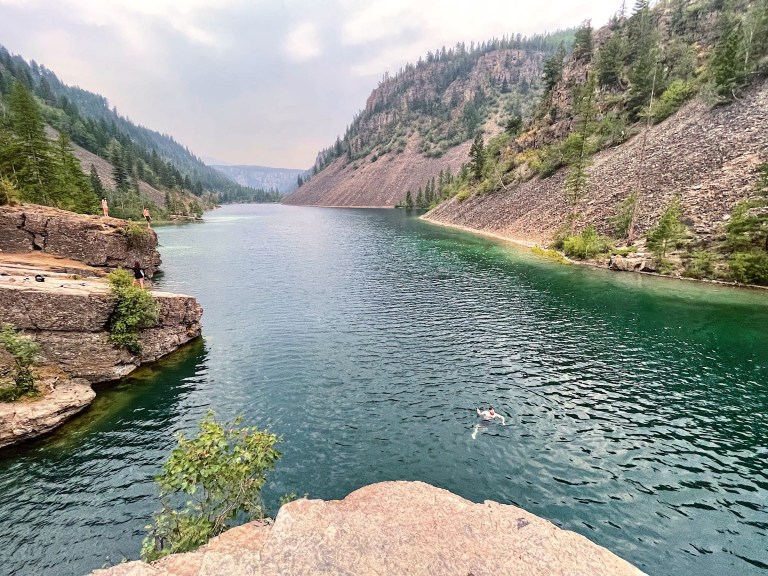
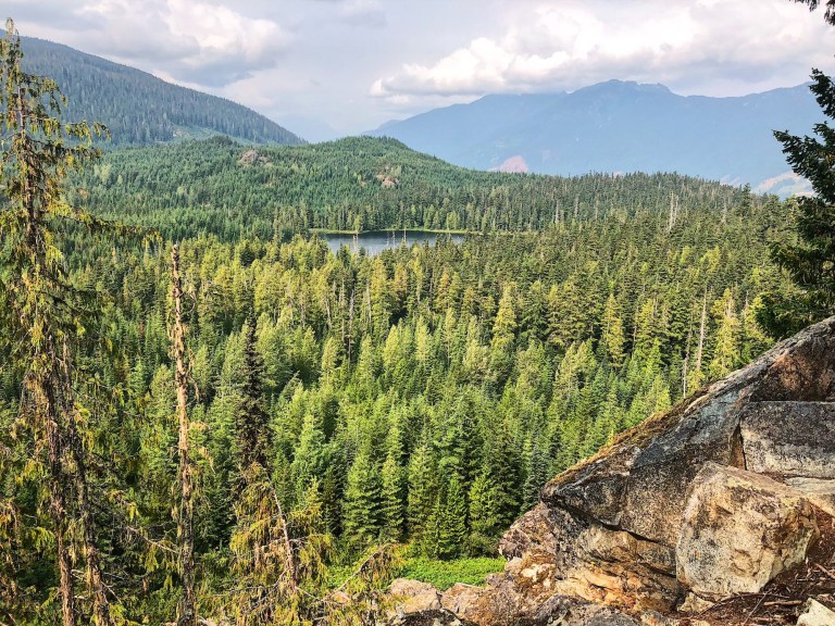
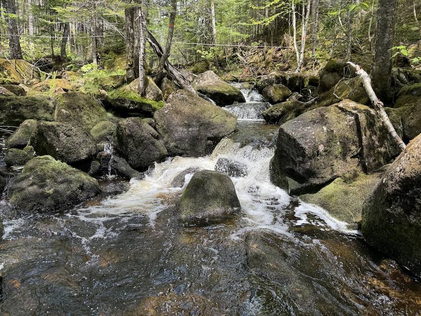
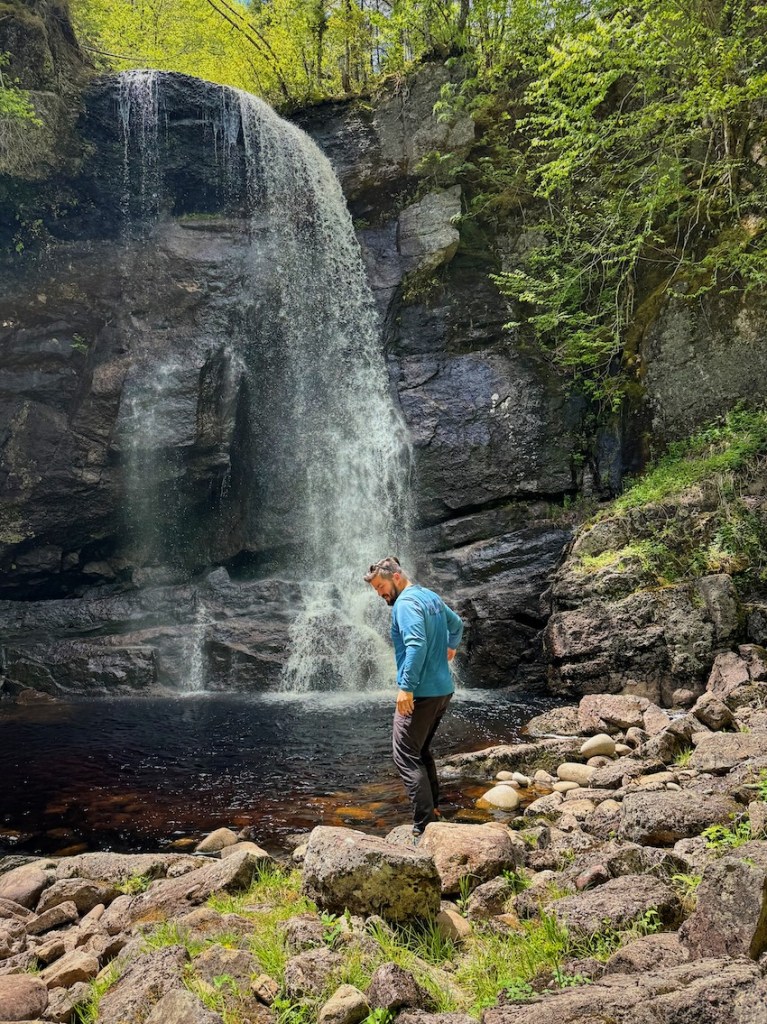
Features: Humes River Falls is one of several waterfalls on Cape Breton Island, surrounded by forest and rugged terrain. The 15-metre-high waterfall drops over a rocky ledge, creating a stunning setting for nature lovers and photographers.
Directions to the Humes River Falls Trailhead
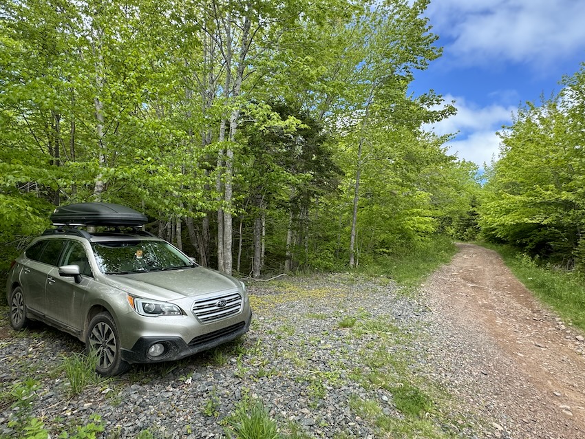
Driving from Baddeck, head west on the Trans Canada Hwy for about 15 km, through Nyanza and crossing over Middle River into Wagmatcook First Nation. Turn right onto Humes Rear West Loop. Continue straight for 700 metres until reaching Wagmatcookeway School. You will find a small parking area at the Humes River Falls Trailhead.
Read next: Gairloch Mountain Falls Hike in Cape Breton, Nova Scotia
Humes River Falls — A Scenic Cape Breton Waterfall
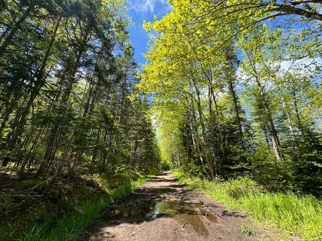
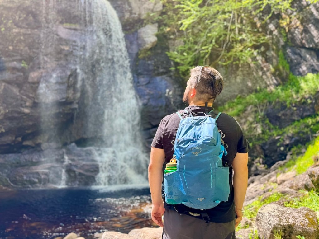
I couldn’t have picked a better day to explore Humes River Falls. It was early June, the sun was shining, and the trail conditions were close to perfect. Sure, there were a couple of muddy sections, but nothing to worry about. I loved having the trail all to myself!
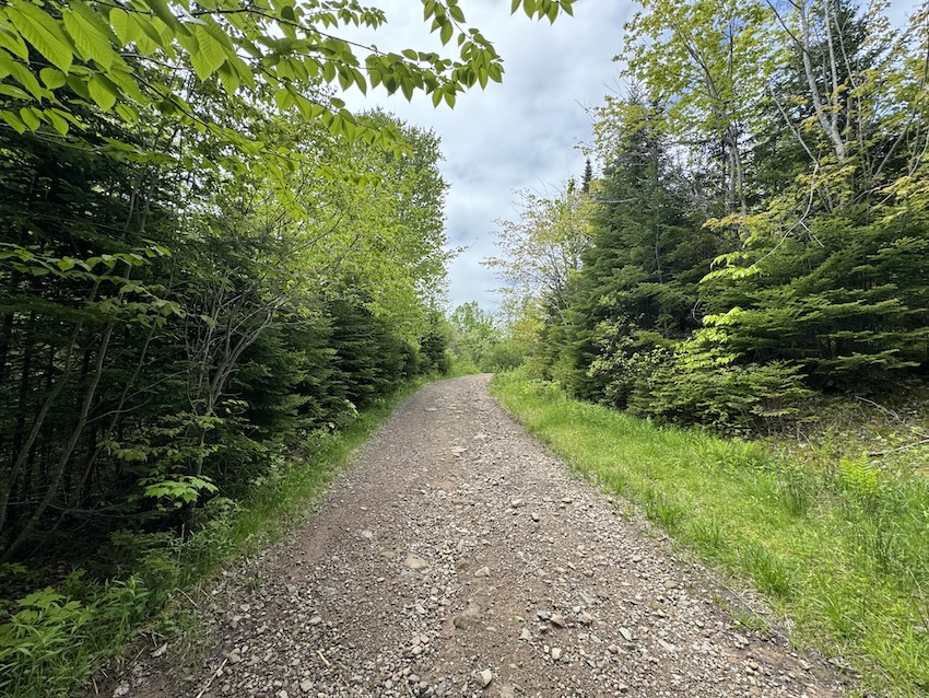
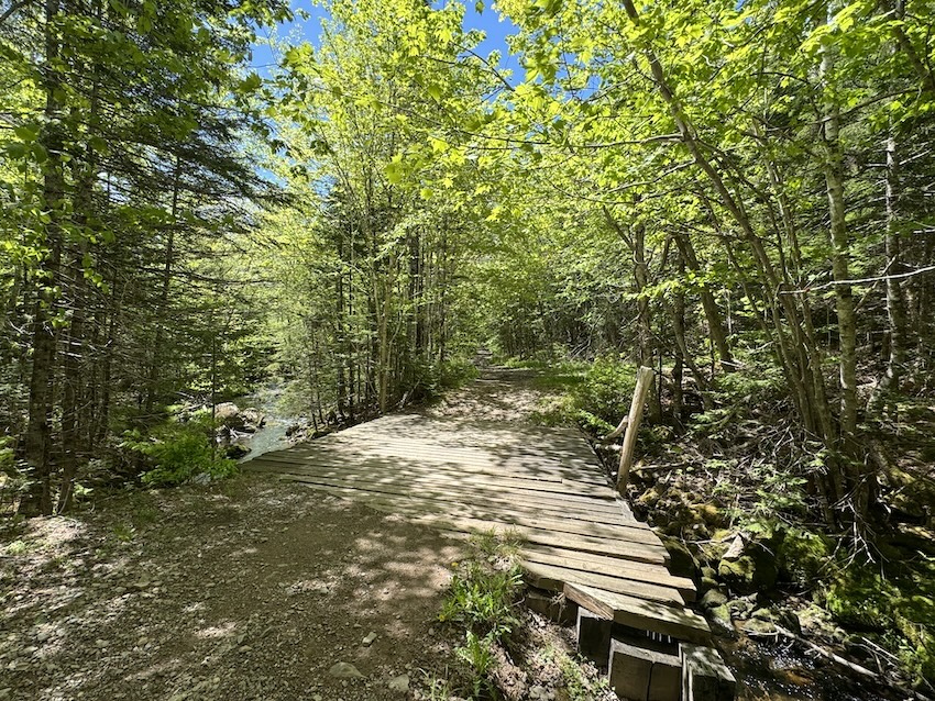
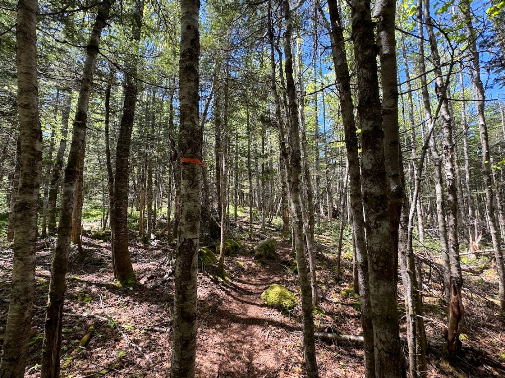
The Humes River Falls hike starts off on an ATV trail for around 3 km, crossing over a couple of wooden bridges with a steady incline. When you meet the intersection, follow the “Humes River Falls” sign and head right. Before too long, the narrow trail leads into the forest. I was moving quickly… and excited to see this waterfall!
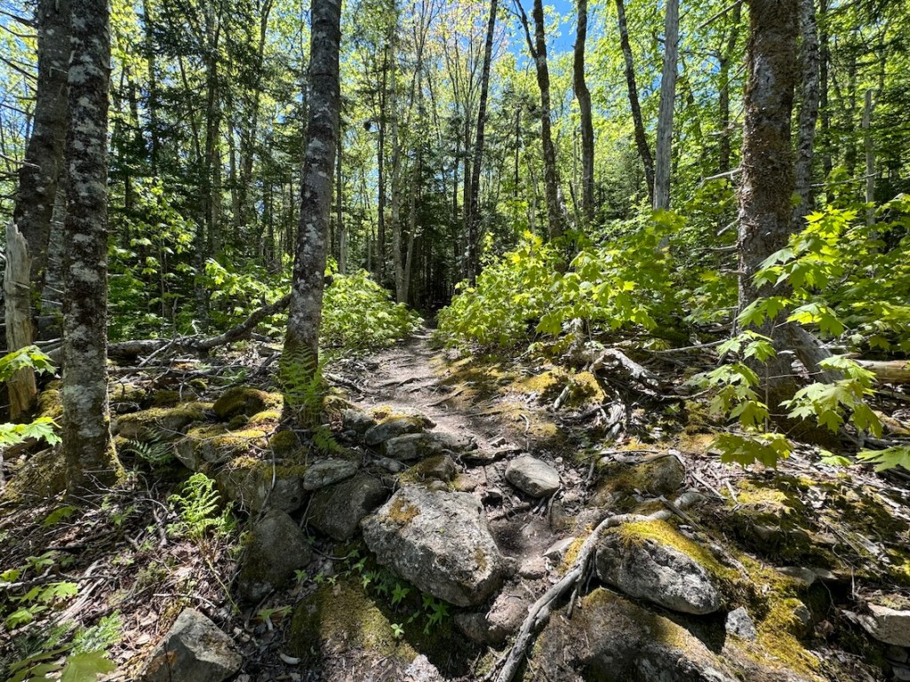
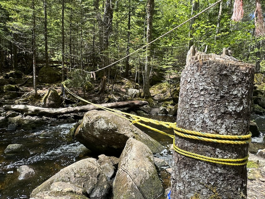
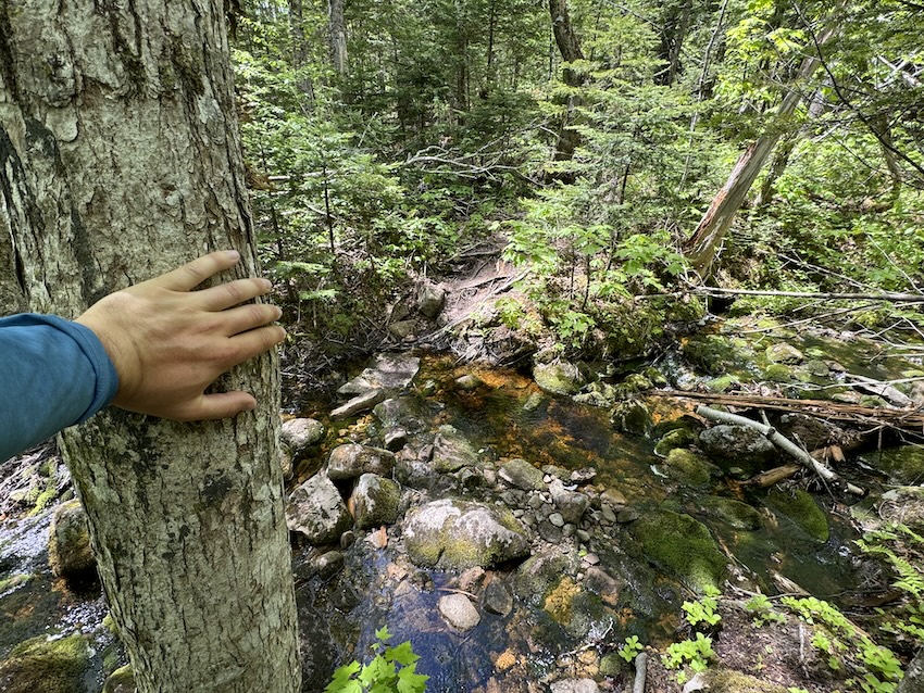
Watch your step on the narrow path, with roots and boulders to navigate. There are also a couple of water crossings to manage, including a river crossing with ropes. Take your time. It’s not long after the crossings to reach the falls. Be prepared for a fairly steep descent. Most hikers will take between 2.5 to 3 hours to complete the 10 km out and back trip.
Note: You could also take the side trip to McNaughton Falls. You will see the sign on the way. I didn’t make time on this trip, but perhaps next time!

Know Before You Go
Parking: There’s free parking at the trailhead, and you can find directions on Google Maps.
Toilets: No outhouse toilets available. If you need to do your business in the woods, please leave no trace and help maintain the wilderness.
Cell Service: Limited cell service. I usually bring my satellite communications device for emergencies.
Navigation: Humes River Falls Trail is nicely marked thanks to Wagmatcook First Nation. Follow the signage and flagging tape. Check out Humes River Falls on AllTrails. If you’re using your phone for navigation, don’t forget a battery pack.
Safety: Bring a small first-aid kit and know how to use it.
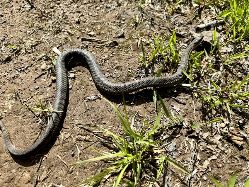
Wildlife: Help keep wild things wild. Do not feed wild animals and keep a safe distance. If you pack it in, remember to pack it out (don’t leave any garbage behind).
What To Bring: Carry a day pack with a water bottle and snacks. I always pack my rain jacket. You will also want hiking boots or trail runners.
Leave No Trace: Have you heard about the Leave No Trace Principles? Become familiar with these backcountry practices before heading out!
Read next: Driving The Cabot Trail on Cape Breton Island, NS
More Cape Breton Island Hikes
Are you looking for more Cape Breton hiking trails? Check out these options:
- Egypt Falls Hike on Cape Breton Island, Nova Scotia
- Gairloch Mountain Falls Hike in Cape Breton, Nova Scotia
- Uisge Bàn Falls Hike on Cape Breton Island, Nova Scotia
- Tenerife Mountain Hike in Cape Breton, Nova Scotia
- North River Falls Hike in Cape Breton, Nova Scotia
- Your Complete Guide to Fishing Cove Trail in Cape Breton
Have you explored Humes River Falls on Cape Breton Island? How about any other Cape Breton waterfalls? Leave a comment below!
Save this for later? Hover over the image to add to Pinterest 👇
Thomas Coldwell has always been fond of the outdoors. He loves hiking, paddling, and camping, and thoroughly enjoys creating outdoor adventure resources for people like you. Originally from Nova Scotia, Thomas has lived in four Canadian provinces (NS, NB, ON, AB) and has travelled in 20 countries and counting.